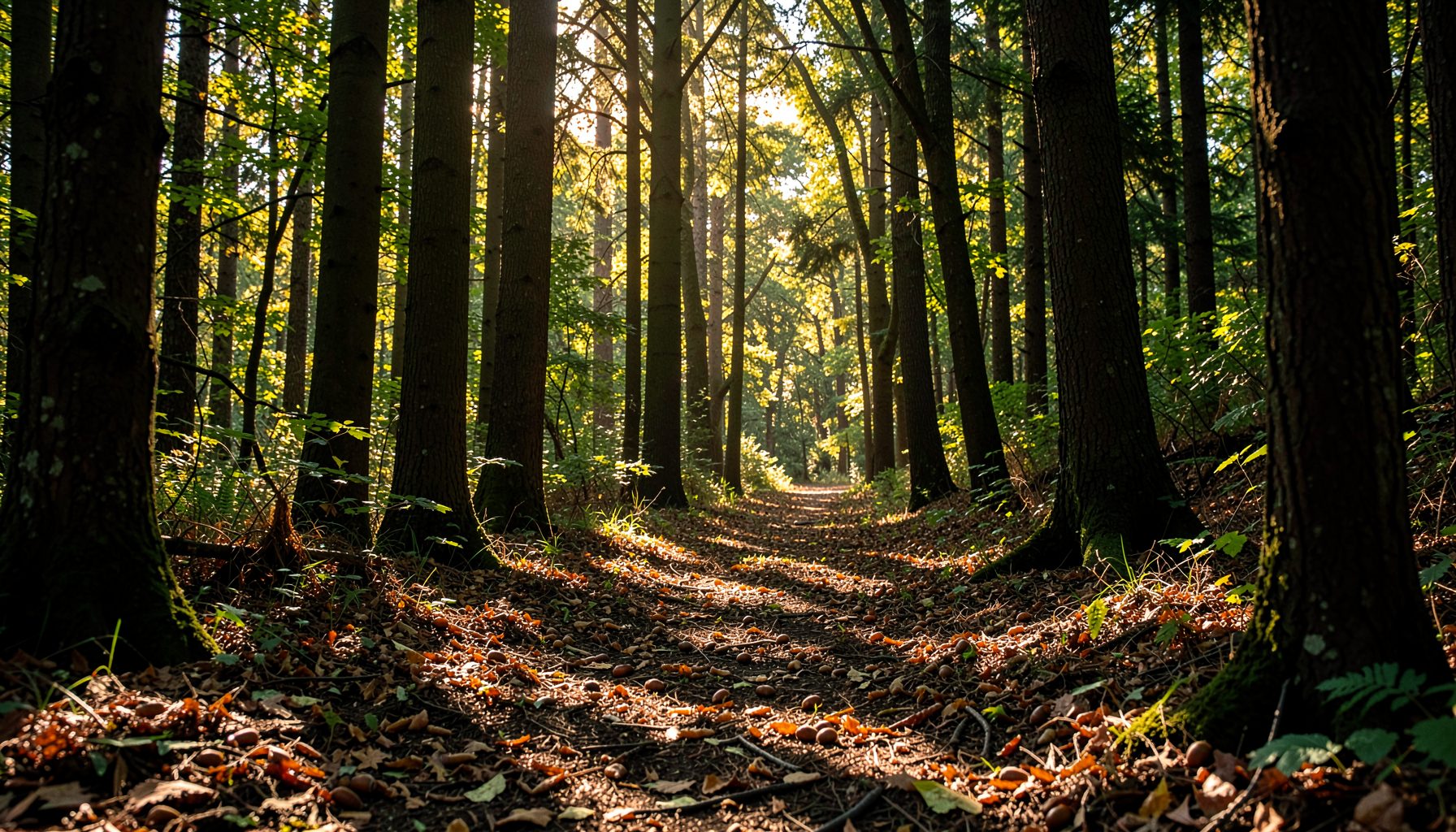
Why streamside forests are critical for filtering agricultural runoff
After heavy rain on an Australian farm, the danger is often visible at the gate: water races off bare ground, carrying silt into a creek and leaving nutrients, manure and farm chemicals in its wake. The same runoff reaches drains, wetlands and rivers, where it can reduce water quality, smother aquatic habitat and expose banks to erosion.
Streamside forests are the bands of trees, shrubs and groundcover that grow along waterways. Their roots hold soil, their litter slows moving water, and their vegetation intercepts and processes some of the material washed from nearby fields. A healthy corridor therefore works as a living riparian buffer between productive land and the river system.
This matters across the Murray-Darling Basin, where irrigated dairy country and broadacre farms feed waterways in four states. It also matters around the urban creeks of Melbourne, Sydney and Brisbane, where stormwater connects roofs, roads and gardens to rivers. The Potomac work documented by Growing Native demonstrates what community restoration can achieve, while Australian projects must use locally native plants suited to their catchment.
Where agricultural runoff begins
Runoff is not only what pours down a steep slope. Water can leave paddocks through saturated soil, excess irrigation, damaged crossings, manure heaps, livestock access points and leaks from fuel or chemical storage. Once the soil’s infiltration capacity is exceeded, water travels over the surface and carries dissolved nutrients and fine sediment with it.
Australian conditions make the pathway especially variable. A dry spell can crust the soil and compact it beneath machinery and stock; an intense summer storm can then deliver more water than the land can absorb. In southern New South Wales and northern Victoria, irrigation return flows add another route, while wet-season rainfall moves stored soil phosphorus and nitrogen through drains and floodplain channels.
The consequences accumulate downstream. Suspended sediment makes water turbid, buries fish eggs and affects irrigation pumps. Excess phosphorus can encourage algal blooms, while nitrogen may reduce oxygen as microbes consume it. Farmers may first notice the problem in troughs, tank-dip ponds and creek crossings, but the affected water often continues to the river and coastal estuary.
How a streamside forest filters and holds
The filtration starts with the canopy. Leaves and branches break the energy of falling raindrops, while bark, litter and understorey vegetation make the forest floor rough enough to slow overland flow. Slower water has more time to infiltrate, and deeper soil pores can move it below the root zone rather than directly into the creek.
Below ground, overlapping roots bind streambanks against collapse. Fine roots and organic matter improve soil structure, and biological activity helps bind particles into stable aggregates. The mechanics are illustrated in Growing Native’s guide to streamside forest erosion, which explains why established riparian cover is especially effective at protecting vulnerable banks.
The forest also captures some nutrients through plant uptake and supports microbes that transform or store nitrogen. Shade keeps water cooler and can limit algal growth. These benefits are not unlimited: dense buffers can eventually leak phosphorus, and replacing good groundcover with an unsuitable tree planting can create new problems. Vegetation is one part of runoff management, not a substitute for controlling fertiliser, manure and erosion at the source.
Planning for Australian catchments
Buffer design should follow local landforms, flood behaviour and vegetation, rather than a single width or species recipe. On eroding agricultural ground, a combination of local native trees, shrubs, grasses and sedges can provide layers of cover and multiple root depths. Along the upper Murray, for example, river red gums may suit some sites, but the right tree for a steep subcatchment need not be the right tree for a waterlogged floodplain.
Large trees are valuable, yet they are not automatically suitable beside every waterway. Dense plantings on narrow floodplains can draw down water, alter shade and affect aquatic habitat. Managers should check local council guidelines, native seed sources and hydrological advice, and they should retain remnant patches before beginning new work. The Great Dividing Range catchments also show why provenance matters: plants sourced far away may not perform through local heat, frost and rainfall patterns.
Urban landscapes need the same principles applied to connected corridors. Melbourne, Sydney and Brisbane each have creeks receiving runoff from roads and established suburbs, often through concrete drains. A vegetated creek crossing, floodplain wetland or street-edge planting can reconnect habitat and slow water, but it must be designed around maintenance access and public safety. Produce sold by vendors at Melbourne Farmers Markets in Queen Victoria Market and at Sydney Farmers Markets ultimately depends on reliable water and soil systems in agricultural and growing regions.
Bare banks versus vegetated corridors
The difference is clearest when runoff is compared under similar conditions. A forested edge changes both the speed of water and the path it takes; it does not simply stop rain at the trees.
| Measure | Bare or repeatedly disturbed bank | Streamside forest buffer |
|---|---|---|
| Runoff speed | Water concentrates quickly into rills and gullies | Litter and groundcover spread and slow flow |
| Sediment | Fine soil reaches the creek readily | Roots and rough ground trap and stabilise sediment |
| Nutrients | Fertilisers and manure move toward water | Uptake, storage and microbial activity retain or transform some nutrients |
| Bank condition | Exposed soil erodes and slumps | Dense roots reinforce the bank and organic matter supports soil |
| Water temperature | Open water can warm rapidly | Shade and evapotranspiration can moderate temperature |
| Flood response | Fast, concentrated pulses reach the channel | More distributed flow and greater infiltration can reduce peak impacts |
Results vary with soil, slope, buffer width, tree age and the intensity of farming nearby. A narrow strip beside a high-input paddock cannot remove every contaminant, and a buffer downstream of a polluted drain has a harder task than one intercepting clean water before it mixes with sediment. The strongest strategy combines riparian restoration with better field management.
Restoring a corridor seed by seed
Growing Native shows a practical restoration pathway: volunteers in the Potomac watershed collect native hardwood and shrub seeds, including acorns and walnuts, state nurseries grow them, and streamside seedlings are planted along waterways. The cycle links community effort with nursery expertise and long-term reforestation, although Australian projects must build a separate local species list.
Species identification is a critical part of that cycle. Growing Native’s walnut identification material shows why volunteers need to distinguish look-alike seeds and avoid collecting the wrong tree. Australian landholders should apply the same care while going further: select species native to the local catchment, confirm provenance and never introduce North American walnuts into Australian bushland.
Propagation timing and planting design determine survival. Seeds may need scarification, cold treatment or prompt sowing, and nursery staff can advise on spacing and stock. Seedlings planted only at the top of a bank create too little cover; placement across upper and lower areas of a floodplain can build a broader filter where conditions permit. Young trees need weed control, replacement stock and watering during dry periods, so establishment funding should cover several seasons rather than one planting day.
Schools, families, community groups and workplaces can contribute through monitored seed collection, propagation, planting days and follow-up care. Volunteers should follow seasonal timing, avoid rare populations and collect only what local guidance permits. Education matters too: people are more likely to protect a creek when they can identify its trees, understand bank erosion and see how runoff connects paddocks to downstream water.
Priorities for landholders and community groups
The most valuable first step is often to protect what already works. A remnant line of gum trees, a patch of wetland or a fenced creek bank may provide more immediate ecological benefit than new seedlings that still need years to establish. Assessment should record where sediment enters, where banks are failing and where clean water can be intercepted.
Restoration then becomes a sequence rather than a single planting. Local advice should guide the mix of vegetation, and the work should be tied to realistic maintenance and funding. Monitoring can remain simple: photograph fixed points, note bank damage, check water clarity after rain and record whether weeds, fire or grazing threaten establishment.
- Map runoff paths and rank reaches by erosion, nutrient and flood risk before choosing planting sites.
- Fence damaged banks and stabilise concentrated flow paths with appropriate groundcover and engineering.
- Use a layered mix of locally native trees, shrubs, grasses and sedges, matching plants to soil and flood behaviour.
- Manage fertiliser, manure, livestock access and chemical storage to reduce the pollutants arriving at the creek.
- Monitor surviving plants, control weeds and replace failures while retaining the strongest cover through drought, fire and grazing.
Action can begin with one farm, school or neighbourhood group: join a local planting day, coordinate with a nursery or council, or support Growing Native’s volunteer program. Growing Native’s seed collection guidance offers a model for careful gathering that must be paired with local rules and species lists. Start with a mapped waterway, protect the existing bank, and build a native corridor that works with the people who farm and live beside it.