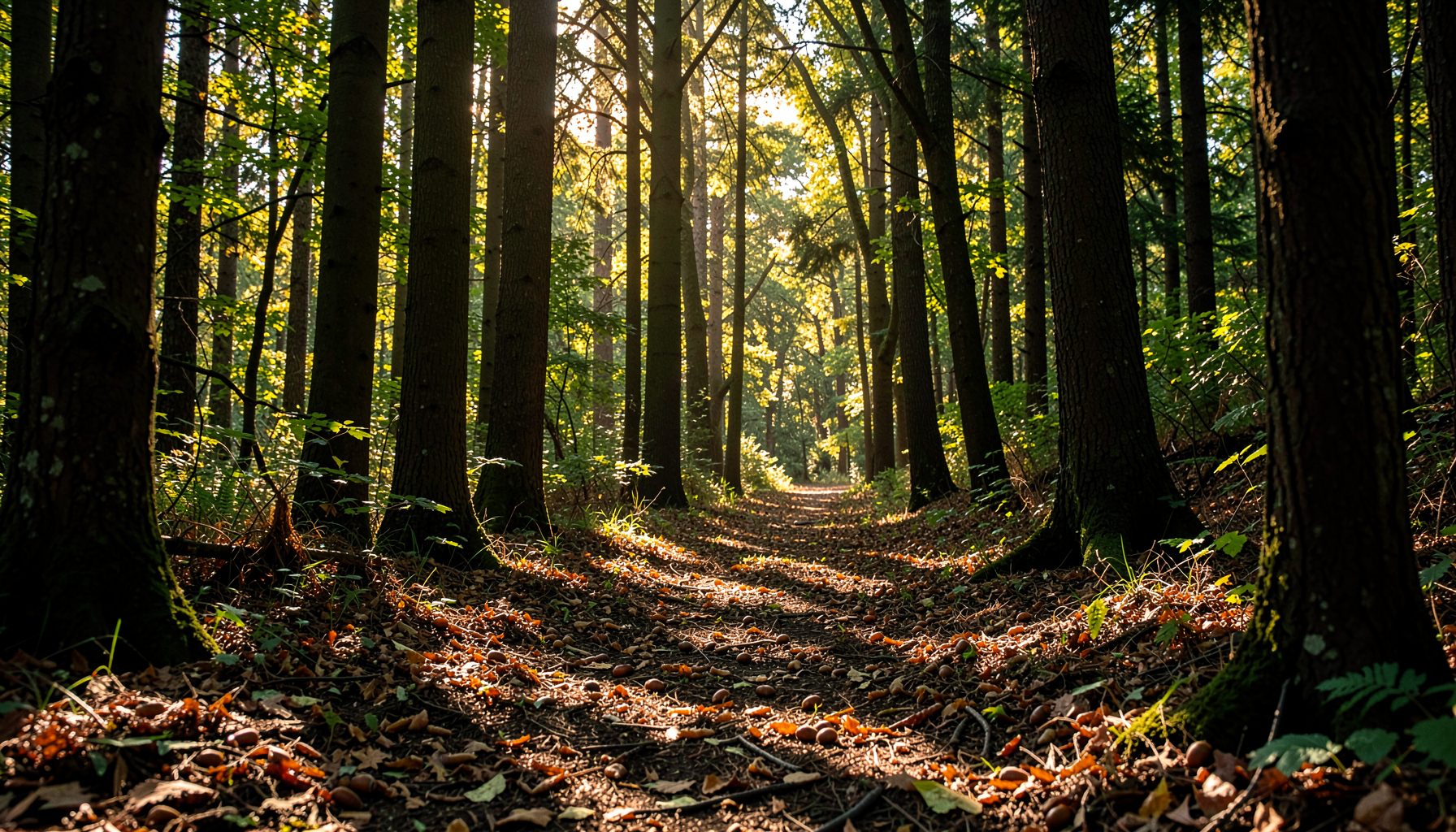
Listening to forests through citizen science
Forests are living systems that change across seasons, weather patterns, land-use pressures, and generations. Professional ecologists can gather detailed measurements, but they cannot be present in every woodland, stream corridor, and neighborhood throughout the Potomac River watershed. Local volunteers help fill that gap by observing conditions repeatedly and reporting what they see.
Citizen science in forest monitoring turns everyday attention into useful environmental information. A volunteer may identify a tree, count seedlings, photograph erosion, record flowering dates, or note signs of invasive plants. When these observations follow a consistent method, they reveal patterns that can guide restoration and long-term conservation.
This work is especially valuable when it connects forests to waterways. Native trees and shrubs stabilize streambanks, filter runoff, provide wildlife habitat, and shade the water. Through Growing Native’s work, volunteers contribute to a broader restoration effort that begins with seeds and extends into healthier forests and cleaner streams.
Why community observation matters
A forest can look unchanged to a casual visitor while important ecological shifts are taking place. A group of mature trees may be losing regeneration beneath the canopy. A streambank may be gradually collapsing after repeated storms. An invasive vine may be spreading through a patch of native shrubs. Regular observations help make these changes visible before they become severe.
Community-based monitoring also creates a wider geographic record than a small scientific team could produce alone. Volunteers visit parks, school grounds, farms, neighborhood forests, and streamside areas that may differ in soil, slope, canopy cover, and human impact. Together, their observations form a detailed picture of forest health across many connected sites.
The value of this information grows over time. A single note about muddy water has limited meaning, but repeated records can show whether turbidity follows construction, heavy rainfall, or seasonal soil disturbance. A yearly count of young trees can indicate whether a woodland is successfully renewing itself or needs additional planting and protection.
What volunteers can measure
Forest monitoring does not require every participant to become a botanist. Projects can begin with simple indicators that are easy to recognize and repeat. Tree species, canopy density, ground cover, streambank stability, wildlife signs, and the presence of invasive plants all provide clues about ecosystem condition.
Volunteers collecting native seeds also perform a form of ecological observation. Identifying healthy parent trees, distinguishing acorns from other nuts, noting seed abundance, and recording collection locations can help conservation programs plan nursery production. These activities connect seasonal forest cycles with future reforestation projects.
A useful monitoring visit might include:
- Identifying dominant trees and shrubs within a defined area
- Estimating whether the ground is covered by leaf litter, native plants, bare soil, or invasive growth
- Photographing streambanks, trails, tree damage, or unusual changes from the same location
- Recording evidence of erosion, flooding, drought stress, pests, or disease
- Noting the date, weather, site conditions, and approximate location
The goal is consistency rather than complexity. A basic observation repeated in the same way can be more useful than a highly detailed record that cannot be compared with future visits.
From field notes to useful data
Good citizen science depends on a clear protocol. Before visiting a site, volunteers should know what they are measuring, how to define each observation, and how the information will be submitted. A shared method reduces personal interpretation and allows records from different people to be compared.
Photographs can strengthen written observations. Images taken from a consistent direction or fixed point make it easier to track changes in canopy cover, bank condition, seasonal vegetation, and storm damage. Volunteers should include a broad site view as well as close images of identifying features, such as leaves, bark, fruit, or signs of disease.
Technology can make fieldwork more efficient through mobile forms, GPS-enabled photographs, digital species guides, and cloud-based databases. Still, technology does not replace careful observation. A phone may record coordinates, but the volunteer must check that the location is correct, describe what is visible, and avoid treating an uncertain identification as a fact.
Data quality improves when uncertain records are marked clearly. “Possibly chestnut oak” or “invasive vine, species unknown” is more useful than an incorrect confident label. Review by experienced naturalists, educators, or project coordinators can then turn preliminary observations into dependable monitoring records.
Reading forests as watershed systems
Forest conditions and water quality are closely connected. Rain moving across bare soil can carry sediment into streams, while deep roots help hold soil in place. Fallen leaves and woody debris support aquatic food webs, and shade from streamside vegetation helps maintain cooler water temperatures for fish and aquatic insects.
This is why monitoring should extend beyond individual trees. Volunteers can examine the width and continuity of vegetation beside a stream, look for exposed roots or undercut banks, and record places where roads, lawns, or development interrupt the natural buffer. The healthy streamside buffer resource offers a practical reference for recognizing these conditions in the field.
The following indicators can help organize observations across a site:
| Forest or watershed indicator | What volunteers may observe | Why it matters |
|---|---|---|
| Native regeneration | Seedlings and saplings of different native species | Shows whether the forest can replace aging trees |
| Canopy condition | Gaps, storm damage, dead branches, or dense uniform cover | Influences habitat, temperature, and forest structure |
| Ground cover | Leaf litter, native plants, bare soil, or invasive species | Affects erosion, moisture, and habitat for decomposers |
| Streambank stability | Rooted vegetation, exposed soil, slumping banks, or sediment deposits | Indicates the likelihood of soil entering the stream |
| Buffer continuity | Connected trees and shrubs beside the water | Helps filter runoff and provide shade and wildlife corridors |
| Seed availability | Acorns, walnuts, berries, and other native seeds | Supports collection, nursery production, and future restoration |
These indicators become more meaningful when considered together. A site with abundant seedlings, stable banks, and diverse ground cover may be recovering well. A site with canopy gaps, compacted soil, invasive plants, and muddy runoff may need targeted restoration.
Building reliable monitoring habits
The strongest volunteer monitoring programs make participation accessible while preserving scientific value. Training can cover tree identification, safe seed collection, map reading, photography, invasive plant recognition, and basic watershed ecology. Short field demonstrations often help people learn more effectively than written instructions alone.
Consistency also depends on practical planning. Volunteers should visit during suitable weather, wear appropriate clothing, avoid disturbing wildlife, and follow site rules. They should never enter dangerous water, climb unstable slopes, or handle an unfamiliar plant without guidance. Safety and respect for the site are essential parts of responsible environmental stewardship.
A small set of habits can make records clearer and more useful:
- Visit the same location at a similar time of year when possible
- Record dates, weather, recent rainfall, and unusual site conditions
- Use plain descriptions alongside species names or technical terms
- Take repeat photographs from marked or easily recognized viewpoints
- Submit observations promptly while details are still fresh
Schools, families, workplaces, and community groups can divide responsibilities so that monitoring becomes a shared activity. One person may photograph the site, another may identify trees, and another may enter the data. This approach supports learning while making the workload manageable.
Turning observations into restoration decisions
Monitoring has its greatest impact when information leads to action. Data may identify a streambank that needs native shrubs, a forest edge where invasive plants should be controlled, or a woodland with too few young trees. It can also show where natural regeneration is already succeeding and intervention should be limited.
Native seed collection is one practical response to these findings. Acorns, walnuts, and other locally adapted seeds can be gathered responsibly, documented, and sent to nurseries for cultivation. The resulting seedlings can later be planted along streams or in restoration sites, helping rebuild habitat with species suited to the region.
Long-term records also help conservation groups evaluate their work. If volunteers monitor a planting site before and after restoration, they can document survival rates, new growth, ground cover, bank stability, and changes in water conditions. These observations support adaptive management, allowing future projects to build on what has worked.
Citizen science also creates an important social outcome. People who learn to recognize native trees, understand watershed connections, and notice seasonal changes are more likely to care for nearby natural areas. Monitoring transforms forests from distant scenery into shared community assets with visible needs and measurable progress.
Join the monitoring effort
Volunteers do not need advanced equipment or years of field experience to contribute. Curiosity, patience, and a willingness to follow a common method are enough to begin. A walk through a forest can become an opportunity to identify parent trees, check streamside vegetation, document change, and support restoration planning.
Growing Native’s conservation model shows how small observations can connect with larger goals. A seed gathered during autumn, a photograph taken after a storm, or a record of young trees along a stream may become part of work that improves habitat and water quality for years to come.
Explore local volunteer opportunities, learn the native species around your community, and bring careful observation into your next visit to the woods. Each reliable record strengthens the shared understanding needed to restore healthy forests across the Potomac River watershed.