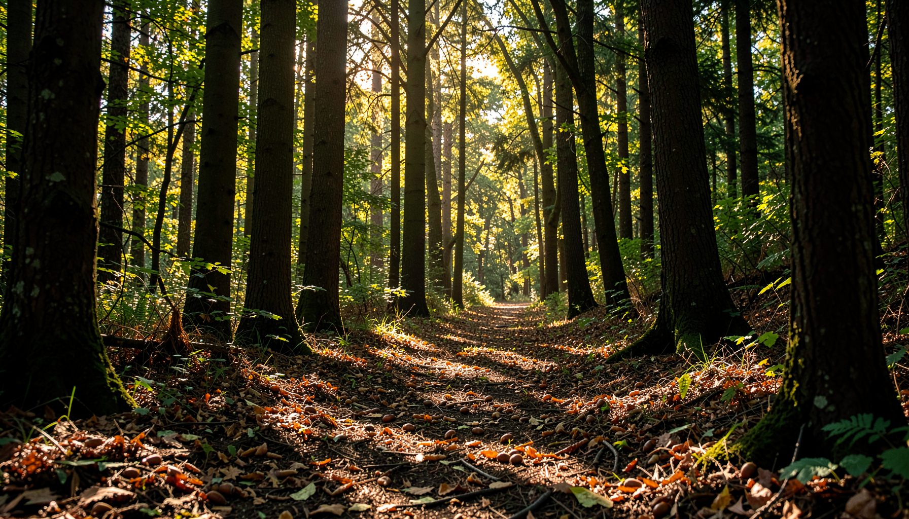
How forests changed across the Potomac River basin
The history of deforestation in the Potomac River basin is a history of changing relationships between people, forests, soil, and water. The basin’s forests once covered most ridges, valleys, floodplains, and stream corridors. Over several centuries, farming, fuel gathering, construction, mining, transportation, and urban growth transformed that continuous woodland into a patchwork of fields, pastures, towns, roads, and fragmented forest.
Deforestation did not happen at the same speed everywhere. Some areas were cleared rapidly for tobacco and grain, while steep mountain slopes remained wooded longer. In other places, repeated cutting for charcoal, iron production, lumber, and firewood degraded forests without removing every tree. These differences still shape erosion, stream temperature, wildlife habitat, and water quality throughout the watershed.
Today, many parts of the Potomac basin are forested again, but regrowth does not erase the effects of earlier land use. Young stands, isolated woodlots, invasive plants, compacted soils, and damaged stream buffers can function very differently from mature, connected forests. Understanding this long record helps explain why restoration work remains important.
Forests before intensive European settlement
Before colonial expansion, forests dominated the Potomac watershed. Oak, hickory, chestnut, tulip poplar, beech, walnut, maple, sycamore, river birch, and many shrubs formed varied communities across the basin. Species composition changed with elevation, moisture, geology, and floodplain conditions. Mountain forests differed from the broadleaf woodlands along the river and its tributaries.
Indigenous nations used fire, hunting, cultivation, and selective clearing to shape particular places. These practices did not create an untouched wilderness, but they generally operated at a smaller scale than later commercial agriculture and industrial extraction. Native communities cultivated crops in suitable locations, maintained travel routes, harvested nuts and fruits, and relied on healthy waterways for food and transportation.
Beavers also influenced forest and stream ecology long before modern settlement. Their dams created wetlands, slowed runoff, trapped sediment, and produced a shifting pattern of ponds and wet meadows. Those habitats supported diverse plants and animals while storing water across the watershed. The ecological role of these animals remains relevant today, as explained in research on how beavers reshape streams.
Colonial agriculture and the first great clearings
European settlement brought a major increase in forest clearing. Colonists converted bottomlands and lower slopes into farms, especially where fertile soils and navigable water made agriculture profitable. Tobacco production in the lower and middle basin placed heavy demands on land. Farmers cleared forests, exhausted soils, and often moved to new acreage when fertility declined.
Wood was essential to colonial life. Trees supplied fuel, fencing, barns, homes, ships, tools, and charcoal. Clearing a farm therefore produced both agricultural land and a valuable supply of raw material. As settlements expanded from the Tidewater toward the Piedmont and into the Appalachian valleys, woodland loss spread along roads, rivers, and cultivated uplands.
The first clearings also changed the movement of water. Removing tree roots and leaf litter exposed soil to heavy rain. Plowed fields and grazed ground sent more sediment into creeks, while reduced shade warmed streams. Floodplains that had once absorbed high water were increasingly occupied by farms and mills, limiting their ability to slow floods and filter runoff.
Mills, mines, and expanding markets
During the eighteenth and nineteenth centuries, commercial development intensified pressure on forests. Gristmills and sawmills appeared along tributaries, using waterpower to process crops and timber. The construction of the Chesapeake and Ohio Canal strengthened connections between the interior and markets near Washington, D.C., allowing agricultural and mineral products to move more efficiently.
Iron production consumed large quantities of wood charcoal. Furnaces and forges in the mountains and western portions of the basin required repeated cutting of nearby forests. Some woodland returned after furnaces closed, but frequent harvesting could alter species composition, deplete large trees, and leave hillsides vulnerable to runoff. Mining for coal and other resources added localized clearing, spoil, drainage problems, and industrial pollution.
Railroads and improved roads expanded the timber trade. Large trees were valuable for lumber, railroad ties, mine supports, and construction. White pine, oak, chestnut, walnut, and other commercially useful species were selectively removed from accessible areas. Selective logging did not always look like a clear-cut landscape, yet taking the biggest trees changed forest structure and reduced seed sources for future generations.
A transformed landscape by the early twentieth century
By the late nineteenth and early twentieth centuries, much of the Potomac basin had been cleared or heavily cut. Agricultural land covered broad portions of the Piedmont and valley floors. In the mountains, farms, timber operations, charcoal production, and mining had left a mosaic of young woodland, open land, and degraded slopes.
The consequences appeared downstream. Erosion carried soil from cultivated fields into creeks and the Potomac River. Sediment filled channels and reservoirs, while nutrients and pathogens from farms and growing communities affected drinking-water sources. The loss of streamside trees reduced bank stability and removed shade, leaf litter, fallen wood, and root habitat needed by aquatic organisms.
Chestnut blight, introduced in the early twentieth century, caused another profound change. American chestnut had been a major forest tree and an important source of food and timber. Its disappearance altered canopy structure and removed a dependable source of mast for wildlife and people. Other pressures, including deer browsing, insect outbreaks, invasive plants, and continued development, complicated forest recovery.
| Period | Main drivers of forest loss | Common landscape effects |
|---|---|---|
| Before 1700 | Indigenous cultivation, hunting, fire, and selective use | Diverse forest mosaics, wetlands, and stable stream corridors |
| 1700s | Farm clearing, tobacco, fuelwood, fencing, and settlement | Fragmented woodland, exposed soil, and increased runoff |
| 1800s | Agriculture, charcoal, mills, canals, mining, and timber harvest | Severe erosion, altered slopes, reduced old-growth structure |
| Early 1900s | Industrial extraction, expanding towns, and chestnut blight | Young forests, degraded watersheds, and declining habitat quality |
| Mid- to late 1900s | Farm abandonment, suburban growth, roads, and pollution | Broad forest regrowth alongside fragmentation and stream impairment |
| Today | Development, invasive species, climate stress, and deer pressure | Uneven recovery, vulnerable stream buffers, and restoration needs |
Forest recovery and the limits of regrowth
Forest cover began to increase in many parts of the basin during the twentieth century. Mechanization reduced the need for marginal farmland, and many farms were abandoned as production concentrated in more productive areas. Trees recolonized former fields, particularly in the Appalachian region and on steep terrain. Public parks, protected lands, and improved forest management also supported recovery.
This regrowth changed the appearance of the watershed, but its ecological value varies. A mature forest typically has multiple canopy layers, deep roots, standing dead trees, fallen logs, native understory plants, and a stable connection between land and water. A recently abandoned field may contain dense young trees but little structural diversity. A roadside woodlot may be green while suffering from invasive vines, deer browsing, edge effects, and poor regeneration.
Forest fragmentation is another lasting legacy. Roads, housing developments, utility corridors, and commercial centers divide woodland into smaller parcels. Small forests experience more wind exposure, hotter edges, increased predation, and fewer interior habitats. Fragmentation also makes it harder for plants and animals to move as climate conditions shift.
Streamside forests deserve particular attention because they connect terrestrial and aquatic systems. Their roots stabilize banks, their leaves feed aquatic food webs, and their shade moderates water temperature. Restoring native trees and shrubs along tributaries can therefore address several problems at once, including sedimentation, habitat loss, and excessive stormwater runoff.
Restoration shaped by watershed history
Modern conservation in the Potomac basin builds on lessons from earlier land use. Protecting existing forests is often more effective than replacing them after clearing. Where stream buffers are narrow or absent, planting native species can rebuild habitat and improve the way water moves through the landscape. Reforestation is most successful when it considers soil conditions, flood frequency, local seed sources, deer pressure, and long-term maintenance.
Seed collection is one practical way to connect residents with this work. Acorns, walnuts, and other native seeds can be gathered responsibly, grown by nurseries, and returned to restoration projects as locally appropriate seedlings. The approach also teaches tree identification and shows how a seasonal forest process becomes a long-term investment in clean water and wildlife.
Community participation gives watershed restoration a human history as well as an ecological purpose. Schools can study forest succession, families can learn native tree species, and workplaces or civic groups can support collection events. Growing Native’s mission demonstrates how volunteer seed gathering can contribute to streamside reforestation across the Potomac watershed.
Restoration cannot recreate every historical condition. The climate is changing, land use has shifted, and some species once common in the basin face diseases or new pressures. Still, increasing native tree cover, reconnecting forest patches, protecting floodplains, and reducing pollution can make the watershed more resilient. The goal is a living forest system capable of renewing itself and supporting healthy waterways over time.
What the past asks of communities today
The basin’s deforestation history shows that forest loss is rarely a single event. It is usually a sequence of decisions: clearing a field, harvesting the largest trees, draining a wetland, building beside a stream, or allowing invasive plants to replace native regeneration. Each action may seem local, yet its effects accumulate across tributaries and flow toward the Potomac.
Several priorities can translate that history into practical stewardship:
- Protect large, mature forests and the corridors that connect them.
- Restore wide, continuous buffers with native trees and shrubs along streams.
- Collect and plant locally appropriate native seeds where restoration projects need them.
- Reduce erosion from farms, roads, construction sites, and compacted urban ground.
- Support land-use decisions that keep floodplains, wetlands, and forested headwaters intact.
The most useful measure of recovery is not simply how much land appears green from above. It is whether forests are reproducing, whether streambanks remain stable, whether water stays cool and clear, and whether native species can move through connected habitat. These conditions reflect the health of both the forest and the watershed.
The Potomac basin still carries marks left by centuries of clearing and extraction, yet it also contains strong examples of renewal. Every protected streamside corridor, surviving woodland, and newly planted native seedling adds to that recovery. Join local conservation efforts, learn the trees in your community, and help turn the basin’s long history into a healthier future for forests and waterways.