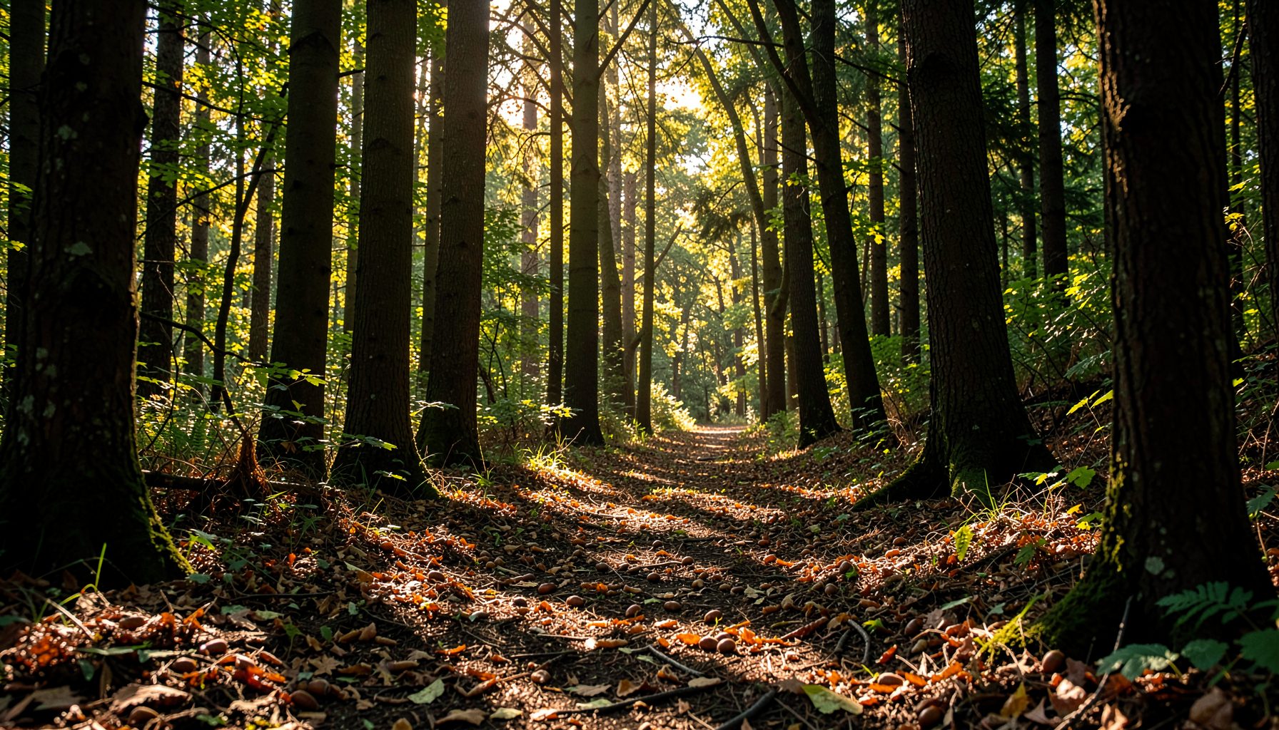
Track seed collection sites for future visits
Learning how to use a GPS to track your seed collection sites for future visits turns a promising patch of trees into a manageable part of a longer restoration effort. A pin on a phone map can bring you back to the right bend in a creek, but a useful record also identifies the tree, describes the habitat, and tells you what you found there last time. That extra context matters when a flood, fire, roadside works, or dense seasonal growth has changed the view.
In Australia, those details carry extra weight because local provenance—the genetic origin of seed—is often a deciding factor for restoration. Seed from a cool, wet patch in the Victorian Alps may not suit a hot coastal site near Sydney, even when both areas can grow the same species. A reliable GPS record therefore belongs alongside field notes, permits, and nursery requirements rather than replacing them.
Choose a GPS setup that works in the bush
Most collectors will get the best results from a smartphone already in their pocket. Its compass, camera, clock, and offline maps reduce the amount of equipment to carry, while Bluetooth or satellite messengers can add safety. A dedicated unit such as a Garmin handheld is more rugged, has longer battery life, and may work where a phone loses signal or becomes too wet to use. Choose based on the distance from vehicle access and the number of sites you expect to visit.
Coverage can be excellent in parks around Melbourne, Adelaide, Canberra, and Sydney, yet frustrating in remote reserves in northern Australia or along a bush track with no mobile bars. Download the map for the whole area before leaving, including the route from the nearest town and any alternative exit. Australian mapping tools commonly use GDA2020 and the Map Grid of Australia, while many GPS receivers and online maps default to WGS84. Check how your app displays coordinates and avoid copying grid coordinates into a latitude-and-longitude field, as a format mismatch can shift a point by many metres.
Do not rely on the blue dot alone. Stand away from vehicles and large metal objects, allow the position to settle, and note the reported accuracy. A pin with an accuracy of five metres is more useful than one marked beside a road when you intended to record a tree 30 metres into the bush. At sites with thick canopy, a compass bearing to a second landmark gives you a cross-check for the next visit.
Build a detailed and searchable site record
Create a waypoint at the actual collection point rather than dropping a pin at the nearest road or parking bay. On a phone, tap and hold the map; on a dedicated unit, use the new-waypoint function. Give the location a plain-language name that will still make sense in two years, such as “Red creek bank – eucalypt stand” or “Road reserve wattles, north end”. Include the direction of travel, distance from the last obvious turn, and a feature visible from the approach. Local terms are useful here: an Australian field note might distinguish a creek line, gully, road reserve, council reserve, or forest boundary, and those words are often easier to interpret later than coordinates alone.
Build each record around a consistent template. Capture the date and time, species name, number of mature trees, which fruit or seed was collected, approximate quantity, habitat, soil, moisture, and GPS accuracy. Save latitude and longitude in decimal degrees, and record the map datum used by your device. A photograph of the trunk, bark, leaves, and fruit can confirm identification later, while a second wide shot shows how the tree sits in the landscape. Note whether the site is on public land, private land, or a community-managed area, and attach or transcribe any permit conditions.
For a patch containing several trees, save the useful trees as individual waypoints and add a line or polygon for the collection zone. A route track can show how you approached and which trees you skipped. This is especially helpful around winding creek lines in the Adelaide Hills or the wet gullies near Hobart, where two places on a map can look close but be separated by steep ground. Keep the final seed bags or baskets linked to the relevant waypoint numbers so no collection becomes anonymous.
Keep provenance useful for Australian restoration
A coordinate is an ecological clue, not just a navigation aid. Native plant nurseries, councils, Landcare groups, and bushcare crews often need seed that comes from the right climate and soil for the planting site. In the Australian native-plant market, seed may pass through local exchanges, volunteer networks, wholesale nurseries, and ecological restoration contracts. Knowing the source area can prevent unsuitable stock from being raised for a nearby project and can make a small collection valuable to a local grower.
The programme run by Growing Native offers a useful model: volunteers collect native hardwood and shrub seeds in the Potomac River watershed, then donate them to state nurseries for growing into streamside seedlings. Australian projects can apply the same chain of custody. Log the parent tree and site, keep each seed lot separate, label bags clearly, and document the final nursery or planting group. This creates a traceable link between the mature tree in the ground and the seedlings that later stabilise a creek bank.
Collection rules differ across states, territories, and land managers. Ask a council for permission to enter or collect in a reserve, check whether Crown land or forest access requires a permit, and follow collection conditions in national and state parks. Keep records showing that the species is genuinely native to the intended catchment. Clean footwear and tools before moving between sites, remove weed seeds from the collection material, and check interstate biosecurity rules before carrying seed across a border. Good provenance and good hygiene protect both restoration projects and farming landscapes.
Use a repeatable field recording routine
Before setting off, decide which app or device everyone will use, create a project folder for the catchment, and test it on a familiar GPS point. Agree on a naming pattern and save a copy of the relevant map offline. If several people are collecting, assign each tree or patch a sequence number that appears in the GPS app, field notebook, seed bag, and photograph file.
A practical routine includes the following:
- Mark a waypoint at the tree or collection patch and wait until the accuracy reading stabilises.
- Add the collection date, species, parent-tree details, quantity, and habitat notes before leaving the site.
- Photograph the trunk, leaves, fruit, and a wider view so identification and position can be checked later.
- Record the route, access point, and any hazard or boundary that will affect a future visit.
- Back up the project at home, including a readable export of coordinates rather than only the app’s internal data.
After the trip, compare each waypoint with the field notes and flag any entry with weak accuracy, an uncertain species, or a missing photograph. Make corrections while the day is fresh, then export a spreadsheet or KML/KMZ file for your own records and for a nursery, council, or Landcare partner. The extra file also prevents a proprietary app subscription or damaged phone from becoming the only surviving copy.
Turn saved coordinates into future action
On a return visit, open the site before walking in and use the saved bearing, access notes, and habitat description to confirm that you have reached the right patch. Walk to the individual parent trees where they still exist, photograph current conditions, and update changes in canopy, erosion, fire damage, road access, or nearby weed infestation. If restoration has occurred, note surviving seedlings and gaps that need attention. A history built over several visits is often more useful than a perfect one-day map.
A coordinate never grants permission to enter land or collect material. Carry the relevant council, land-manager, and biosecurity information, check fire bans and weather warnings, and tell someone your route and expected return time. Remote work deserves a satellite communicator or other emergency check-in plan, especially where mobile reception ends. Wear suitable boots and clothing for the season, and adjust the route around fallen limbs, snakes, ticks, and storm damage rather than forcing a direct line to the pin.
If you are collecting within the Potomac River watershed, contact Growing Native to ask about volunteer seed days, nursery handoffs, or educational resources. Australian collectors can take the same recording method to their local council, Landcare group, or native nursery. Mark one verified parent tree today, attach a complete field record, and use that saved location to make your next collection safer and more productive.