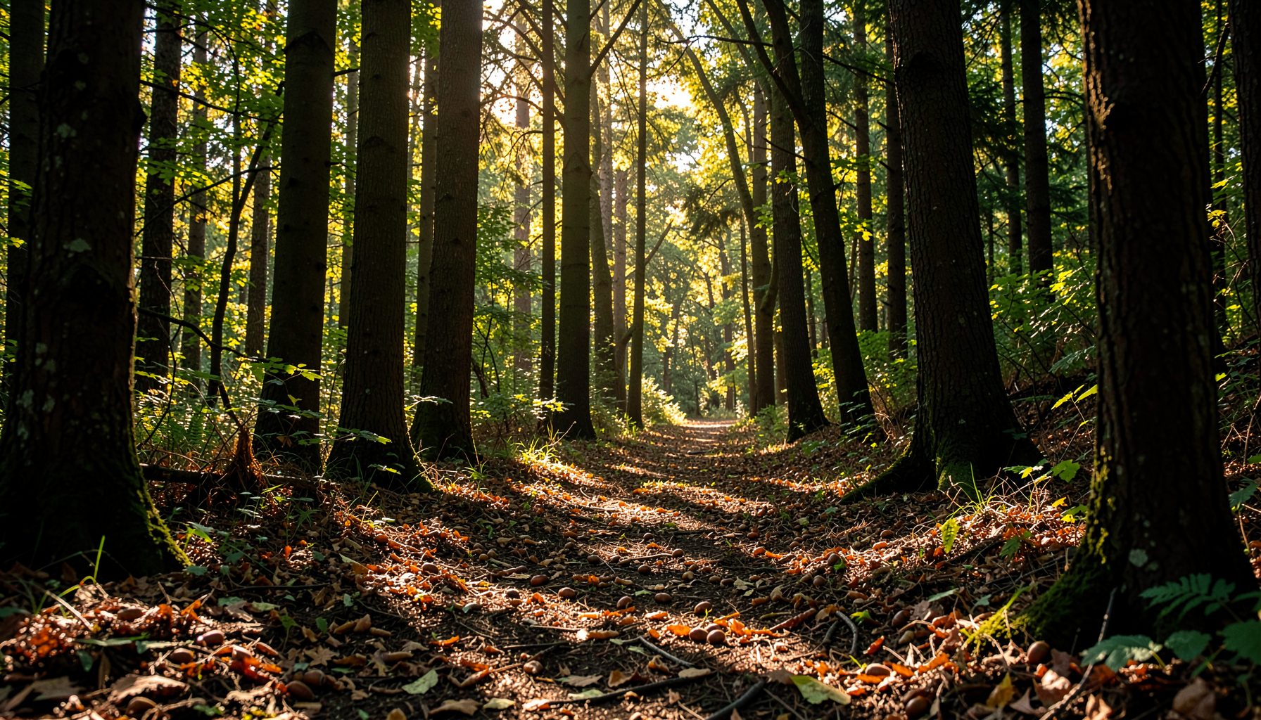
Mapping a seed collection route in unfamiliar bushland
Walking into a forest you have never visited before can feel a little like opening a letter you did not expect. The ground looks unfamiliar, the canopy shifts between patches of bright sun and shadow, and every rustle could be a wallaby darting off through the ferns. For volunteers collecting native seeds, that sense of discovery is part of the appeal, but it also carries real responsibility. A well-mapped route protects the trees you are harvesting from, keeps you safe on the trail, and helps nurseries receive healthy, viable seed for future plantings.
Whether you are strolling through wet sclerophyll forest outside Melbourne, walking a ridgeline in the jarrah woodlands near Perth, or stepping into the understorey of a Brisbane bushcare reserve, the same careful planning makes the difference between a productive day and a wasted one. Groups like Growing Native have spent years refining how volunteers move through unfamiliar terrain to gather seed responsibly, and their approach translates well to bushland settings anywhere.
Reading the landscape from above
Before lacing up your boots, spend time with maps that show the forest as a whole. Aerial photographs and satellite layers reveal drainage lines, recent fire scars, canopy gaps, and tracks that may not be marked on tourist maps. Look for the subtle ribbon of green that runs along creek flats, because streamside trees often produce the most reliable seed for riparian restoration. In the Dandenong Ranges, for instance, volunteers working in protected gullies quickly learn that the tallest mountain ash stand along the lower slopes where moisture lingers longest.
Topographic maps add the third dimension. Contour lines tell you where the slope steepens, where you might find flat benches suitable for resting, and which ridgelines connect one patch of bush to the next. A ten-minute study at home saves an hour of backtracking in the bush. Take notes on water sources, fence lines, and any signs of recent logging or storm damage, since these influence both access and tree health.
Cross-reference what you see from above with information from the land manager. Many state forest offices, water authorities, and local councils publish vegetation maps and species lists for their reserves. A quick phone call or email can confirm whether your target species are present, whether harvesting is permitted, and whether any areas are closed due to recent burns or restoration work. This background check protects both you and the forest from unintended harm.
Knowing your target species and their habits
Seed collection is rarely a grab-and-go affair. Different species drop their seeds at different times, and some need very specific triggers such as fire, frost, or the death of a parent tree before they release a heavy crop. Learning the flowering and fruiting calendar of the species you hope to collect is essential.
Australian bushland offers plenty of examples. Banksia cones often open after fire and can be harvested when mature. Various eucalyptus and wattle species hold their seed in capsules or pods for months, releasing it gradually once conditions are right. Aboriginal ecological knowledge, where shared respectfully and with permission, can also point to local fruiting cues such as the flowering of certain grass trees or the movement of native bees. If you are new to a forest, talk to local naturalists, Indigenous knowledge holders where appropriate and welcome, or experienced bushcarers who can point out which patches are likely to hold productive parent trees. Useful identification support is also available through resources like this tree identification guide, which walks beginners through key features to look for in leaves, bark, and fruit.
Reconnaissance before collection
A first visit should be a quiet walk rather than a working day. Carry only the basics, mark promising trees with soft flagging tape, photograph them, and note their GPS coordinates or at least their position relative to landmarks. Pay attention to how the forest changes as you move, especially transitions between dry ridge, moist gully, and disturbed edge habitat where pioneer species tend to thrive.
Take time to listen and observe as well. Bird calls often indicate which patches are healthiest, and the presence of certain insects can hint at flowering cycles in the coming season. Notice the fallen leaves and old fruits on the ground, which tell you when previous seed drops occurred and roughly how heavy they were. If you are walking somewhere like the wet forests of Tasmania or the coastal scrubs near Coffs Harbour, these subtle signs will guide you toward the most vigorous parent stands, which generally produce the best seed. A short rest on a fallen log often reveals more than a hurried march through the bush.
Mapping tools at a glance
Different mapping tools serve different purposes. Some are best for initial reconnaissance, others for detailed field navigation, and a few work well as backup when batteries die. Choosing the right mix depends on the size of the area, the density of the understorey, and how remote the route really is.
| Tool | Best for | Strengths | Limitations |
|---|---|---|---|
| Smartphone GPS apps | Field navigation in remote areas | Works offline, geo-references photos, free basic versions | Battery drain, screen glare in sun |
| Paper topographic maps | Pre-trip planning and backup | No battery needed, shows terrain context | No real-time location, harder to annotate |
| Handheld GPS units | Multi-day trips with waypoints | Durable, long battery life, accurate | Cost, slower to update |
| Drone aerial surveys | Identifying canopy gaps and access | Reveals patterns invisible from ground | Restricted near wildlife, requires skill |
A printed topographic map tucked into a dry bag is worth the small weight, since many Australian forests have mobile blackspots and paper never runs out of battery. Pair it with a basic compass and you have a reliable backup that works regardless of cloud cover, a dead phone, or patchy satellite reception.
Building your field kit
A few well-chosen items make route mapping far smoother, no matter which tool you reach for first.
Think about weight distribution as well. Heavy items sit low and close to your back, while frequently used gear such as a notebook or compass rides in an accessible pocket. If you plan to return with seeds, leave room in your pack rather than filling every pocket with snacks and water bottles. A small zip-lock bag for each species keeps different lots separate and dry, which makes life easier back at the nursery sorting table.
- Soft flagging tape and a permanent marker for marking productive trees without harming bark
- A field data sheet, ideally waterproof, for recording species, GPS, and observations
- A compass as backup to any digital device, especially in gullies where reception drops out
- A power bank and spare cable, since GPS apps drain phones quickly in cool forest air
- A small pair of secateurs and breathable collection bags, kept inside your pack until needed
Staying safe in the bush
Australian bushland rewards caution, particularly in warmer months. A few habits will keep most outings safe and enjoyable, regardless of whether you are working in coastal scrub, dry woodland, or subalpine forest.
Climate adds another layer to consider. South-facing slopes stay cooler and damper, north-facing ones dry out quickly, and coastal forests carry their own salt-laden winds. Adjust your start time, water load, and clothing layers to match. Walking with at least one other person is wise, especially in unfamiliar country, and a simple check-in system by text or satellite messenger helps everyone stay accounted for across a long day.
- Tell someone your full route and expected return time before you leave
- Carry at least two litres of water per person, plus electrolyte tablets for longer walks
- Watch for snakes around logs and rocks on warm days, and know pressure immobilisation first aid
- Wear sturdy boots with good grip for muddy slopes, loose gravel, and creek crossings
- Pack a basic first-aid kit, including a snake bandage and emergency contact details
The most rewarding part of mapping a new seed collection route is what comes after the planning. Each return visit deepens your familiarity with the forest, builds your confidence in the route, and slowly fills in the gaps in your notes. Sharing those notes with fellow volunteers through a group chat, shared drive, or printed handover sheet makes the next person's first walk that little bit easier. Small details, such as a boggy corner after rain or a hidden gate behind a windbreak, all add up to a richer picture. Over time, what started as unfamiliar bush becomes a familiar place, rich with seasonal rhythm and personal history.
If your group is ready to begin planning a route of your own, get in touch with Growing Native for guidance on coordinating with land managers, sourcing permits, and connecting with experienced seed collectors who can mentor first-timers.