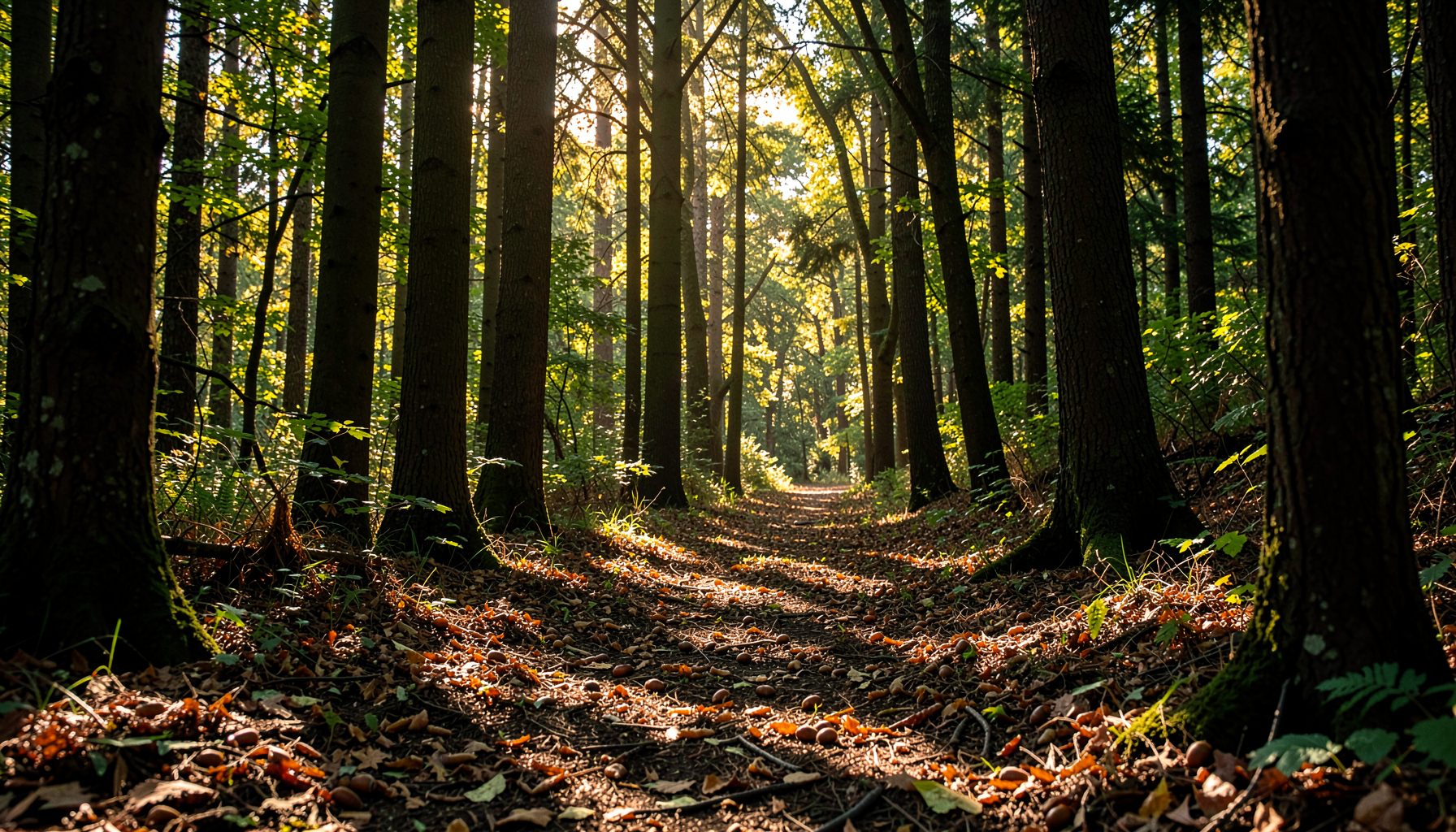
How to map a stream corridor for targeted seed collection
A stream corridor is more than the channel where water flows. It includes the banks, floodplain, adjacent woodland, wet depressions, old fields, and transition zones that influence water quality and support native trees and shrubs. Mapping this connected landscape helps volunteers find suitable seed sources without spending time searching randomly or collecting from unsuitable locations.
A clear field map also turns observations into useful information for restoration partners. When collectors record species, tree condition, location, habitat, and seed availability, nurseries can better understand where planting material came from and how it may fit future watershed projects. This is especially important when collecting acorns, walnuts, hickory nuts, and other native hardwood seed for streamside restoration.
The process does not require expensive equipment. A printed map, a phone with GPS, a notebook, and a consistent set of field symbols can produce a practical inventory. The goal is to identify healthy, accessible, and ecologically appropriate seed sources while protecting the stream corridor and leaving enough seed for wildlife and natural regeneration.
Define the corridor before visiting
Begin by setting a mapping boundary that reflects the stream’s ecological influence rather than drawing a narrow line around the water. Include the riparian buffer, visible floodplain, wooded tributaries, wetland edges, and nearby uplands where mature native trees may contribute seed to the corridor. A working width of 100 to 300 feet on each side may be appropriate for a small stream, but topography and land use should guide the final boundary.
Use an aerial map or topographic layer to identify access points, bridges, public land, property boundaries, steep slopes, farm fields, utility corridors, and likely wet areas. Mark hazards before entering the site, including unstable banks, deep water, fallen trees, active work zones, and dense invasive vegetation. Confirm permissions for private property and follow any site-specific rules for public land.
Divide the corridor into manageable segments using bridges, tributary crossings, trail junctions, road crossings, or changes in vegetation. Segmenting makes fieldwork easier and allows teams to return to the same locations during different stages of seed development. Give each segment a simple code, such as SC-01 or TRIB-03, and use that code in every observation.
Prepare a consistent field system
A reliable map depends on consistent records. Before the survey, decide which information every collector will capture. At minimum, record the segment code, date, observer, GPS position, tree or shrub species, approximate size, health, seed condition, access notes, and a recommendation for follow-up. Use the same species names throughout the project, preferably with both common and scientific names when identification is uncertain.
A phone-based mapping application can save points, lines, and photographs, but batteries and mobile signals may fail near wooded streams. Download maps for offline use and carry a paper backup. Mark north, the route taken, and the stream direction on the printed map. If the team uses different devices, agree on a coordinate format and file naming convention before the field day.
Photographs strengthen a seed-source inventory when they show the whole plant, bark or leaves, surrounding habitat, and close details of the seed or fruit. Photograph landmarks that will help another team relocate the tree. Avoid relying on a single close-up image, since leaves and nuts can look different depending on their stage of development.
Read the landscape as you walk
Walk slowly through each segment and observe how the corridor changes. Note whether the stream is bordered by mature forest, young regrowth, pasture, mowed lawn, invasive thickets, or exposed soil. A diverse, layered buffer with canopy trees, understory plants, leaf litter, and stable banks often offers better habitat than a narrow strip of isolated trees.
Look for native seed-bearing species suited to moist or seasonally wet conditions. Common candidates may include river birch, sycamore, red maple, silver maple, black gum, tulip tree, black walnut, bitternut hickory, shagbark hickory, white oak, swamp white oak, and several shrub species. Local suitability varies, so identification should be verified with regional field guides or educational resources before collection.
Record transitions carefully. A mature oak on a terrace above the floodplain may be a valuable seed source, while a young tree growing directly on an eroding bank may be difficult to access and vulnerable to damage. Likewise, a walnut near a parking area may produce abundant fruit but may not represent a healthy, undisturbed source. The map should show these distinctions instead of treating every tree as equally useful.
Evaluate seed sources in place
A targeted seed collection map should show more than where trees grow. It should explain why a particular source is worth revisiting. Assess crown condition, trunk health, evidence of disease, storm damage, insect activity, competition, and the presence of invasive vines. Favor vigorous native plants that appear well adapted to the local site and can provide enough seed without being stripped.
Estimate seed abundance using simple categories such as absent, developing, moderate, abundant, or ready to collect. For acorns and nuts, check both the canopy and the ground. Sound, well-formed seed is more useful than large quantities of damaged, moldy, immature, or insect-infested material. Note whether seed is still green, beginning to mature, dropping naturally, or already buried by wildlife.
Map several candidate trees of the same species rather than selecting a single “best” tree. Collecting from a broader group supports genetic diversity and reduces dependence on one individual. Space collection points across the corridor when practical, and record whether trees appear naturally distributed or planted. This context helps restoration partners interpret the material and avoid concentrating seed from one small source.
If a tree’s identity is uncertain, mark it as “verify” rather than guessing. A mistaken identification can affect nursery handling and planting decisions. The Growing Native program provides a useful context for understanding how volunteer-collected native seed can support watershed restoration and streamside planting.
Turn observations into a usable priority map
After fieldwork, review every point while memories are fresh. Correct duplicate locations, fill missing species names, and separate confirmed seed sources from observations that need a second visit. Use symbols or colors to distinguish mature native trees, developing seed, ready-to-collect sources, access routes, hazards, invasive-dominated areas, and sensitive habitat.
A simple priority score can help teams decide where to return first. For example, rate each source from one to three for health, seed abundance, accessibility, native status, and habitat value. The score should guide planning rather than replace judgment. A highly productive tree beside an unsafe bank may receive a lower operational priority than a slightly less productive tree that can be reached safely and collected without disturbance.
Use the following field key to keep assessments comparable across segments:
| Field observation | What to record | Collection meaning |
|---|---|---|
| Native species confirmed | Common name, scientific name, identification confidence | Suitable for consideration |
| Healthy mature plant | Canopy, trunk, vigor, disease or damage | Higher priority source |
| Seed present | Stage, quantity, soundness, wildlife damage | Determines revisit timing |
| Accessible location | Trail, bank, slope, permission, hazards | Determines field feasibility |
| Corridor setting | Floodplain, terrace, wetland edge, upland margin | Adds ecological context |
| Nearby sources | Number and spacing of same species | Supports genetic diversity |
| Invasive pressure | Species and extent around source | May require caution or follow-up |
| Sensitive conditions | Nesting area, erosion, private land, unstable bank | May rule out collection |
Once priorities are assigned, create a return route that minimizes backtracking and avoids unnecessary trampling. A map that identifies ten excellent sources is more useful when it also shows how a team can reach them safely, where supplies can be staged, and which locations should be left undisturbed.
Time the map around seed development
Stream corridor mapping should be revisited because seed availability changes quickly. A spring survey may reveal tree identity and habitat structure, while a late-summer or autumn visit may be needed to assess acorns, walnuts, hickory nuts, berries, or samaras. Record flowering, fruit development, and first drop dates when possible. These observations build a seasonal calendar for future collection.
Weather can alter timing from year to year. Drought, late frost, heavy rain, and mast production influence both seed quantity and quality. A map made during one season should therefore be treated as a living record. Keep the original locations, then add updated observations rather than replacing older information.
Revisit high-priority sources shortly before the expected collection window. Check whether seed has matured, whether wildlife has removed much of the crop, and whether access has changed. Collect only with permission and according to program guidance. Leave an adequate share for wildlife and natural regeneration, avoid damaging branches or roots, and do not enter unstable banks to reach fallen seed.
Use the map to guide responsible fieldwork
A good map supports decisions before, during, and after collection. Share a copy with team leaders, provide each group with its assigned segments, and explain how to record new findings. Families, students, workplace teams, and experienced volunteers can contribute effectively when the mapping system is simple and the boundaries are clear.
Keep these practices at the center of the field plan:
- Confirm landowner permission, site rules, weather conditions, and emergency access before departure.
- Prioritize healthy native sources and spread collection across multiple individuals and locations.
- Record GPS points, photographs, seed condition, and access notes at the time of observation.
- Leave enough seed for wildlife and natural regeneration, and avoid trampling sensitive streamside areas.
- Update the map after each visit so future teams can see what was collected and what still needs review.
After collection, connect each seed batch to its map record using a matching code. Include the species, source segment, collection date, approximate quantity, and any handling notes required by the receiving nursery or restoration program. This chain of information prevents batches from becoming anonymous and helps demonstrate how local volunteer work contributes to cleaner water, erosion control, and healthier forest cover.
Put the map to work
A stream corridor map becomes valuable when it leads to careful action. Use it to schedule return visits, organize volunteers by segment, identify gaps in native seed sources, and communicate clearly with nursery partners. Over time, repeated observations can reveal which parts of the watershed produce reliable seed and which areas need habitat protection or future restoration.
For practical volunteer opportunities, species identification resources, and watershed-focused conservation activities, visit Growing Native. Bring your completed map, field notes, and seed-source priorities to the next collection effort so that every walk along the stream contributes to a more connected and resilient watershed.