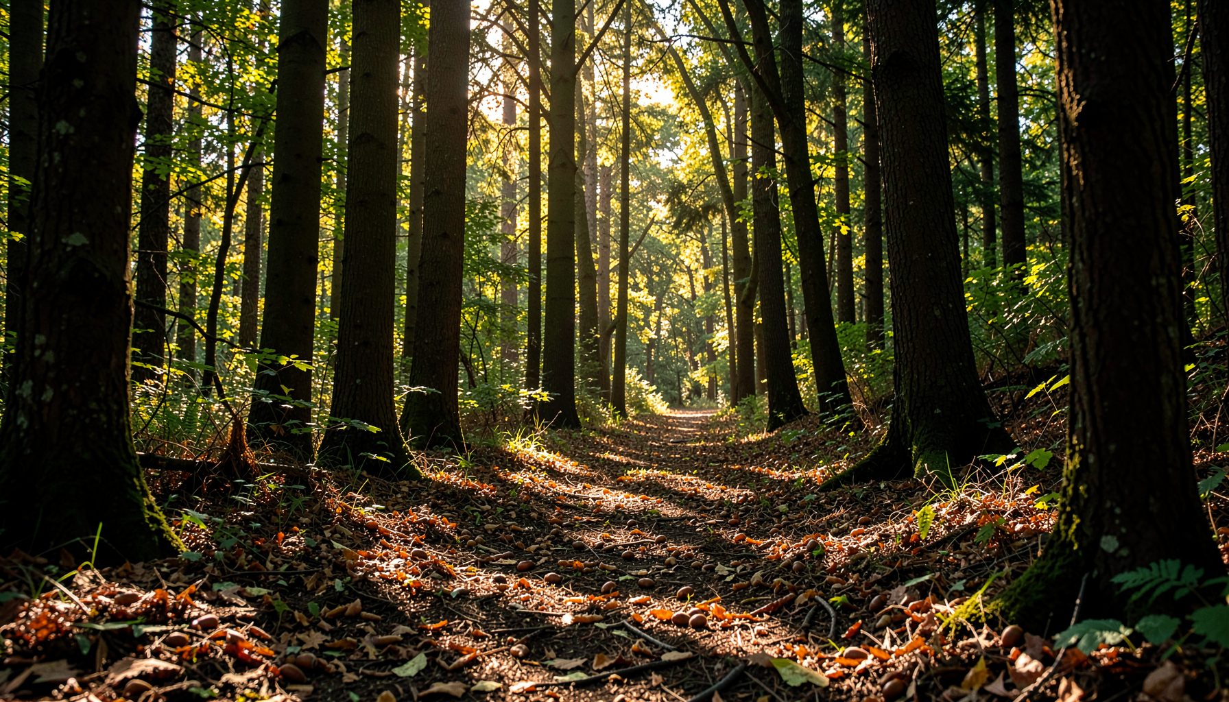
Building a microclimate data sheet for every collection site
A seed collection site can look uniform from a distance, yet small changes in slope, shade, soil moisture and wind exposure may influence whether a seed matures well. Recording these conditions turns a simple collection trip into a useful source of ecological information. Over time, the records can show which places produce healthy native seed and which conditions support reliable regeneration.
A microclimate data sheet is a practical field record for the conditions immediately around a collection tree or shrub. It does not need expensive equipment or complicated calculations. A clipboard, pencil, phone, simple thermometer and consistent observation method are enough to build a dataset that volunteers, schools and restoration groups can use.
For Australian volunteers, the form should account for local realities such as hot northerly winds, sudden coastal weather changes, prolonged drought, storm seasons and strong differences between shaded gullies and exposed ridgelines. The same approach can support local seed gathering while reflecting the wider conservation lessons of programs such as Growing Native, which connect seed collection with forest recovery, stream protection and community stewardship.
Start with a clear site identity
Give every collection location a unique site code. A code such as NSW-Hawkesbury-014 or VIC-Yarra-006 is easier to manage than relying on a tree’s informal name. Record the date, start time, collector names, organisation, permission status and the purpose of the collection. If the site is revisited, the same code should remain attached to that location.
Add coordinates from a phone or handheld GPS, then describe the site in plain language. Useful details include the nearest road, reserve, creek crossing, walking track or property boundary. In Australia, a site might be identified as a shaded bend above the Murrumbidgee, a riparian flat near the Yarra, or a dry woodland edge outside Toowoomba. A clear description helps another team return without disturbing nearby habitat.
Record whether the location is public land, private property, a school grounds area or a community reserve. Include the name of the land manager where relevant. Permission, biosecurity requirements and collection limits can vary between councils, parks agencies, Traditional Owner organisations and private landholders, so these details belong on the form rather than in someone’s memory.
Describe the surrounding landscape
Begin with the broad setting: creek line, floodplain, gully, hillside, ridge, wet forest, open woodland, coastal scrub or urban fringe. Then note the tree’s position within that setting. A seed source beside a permanent stream experiences a different moisture regime from one 50 metres uphill, even when both are part of the same forest patch.
Slope and aspect are important fields. Record whether the ground is flat, gently sloping or steep, and use a compass reading or approximate direction for the aspect. In the southern hemisphere, a south-facing slope is often cooler and shadier than a north-facing slope, while a west-facing slope may receive harsh afternoon heat. Local topography can override these general patterns, so direct observation still matters.
Note nearby landscape features that modify weather: a rock outcrop, dam, road, dense hedge, plantation, open paddock or tall stand of trees. A windbreak may reduce drying, while a sealed road or cleared edge can increase reflected heat. A creek corridor may remain humid after surrounding ground has dried. These observations help explain why one collection tree performs differently from another nearby.
Record canopy cover and daily light
Estimate the amount of direct sunlight reaching the collection tree during the day. A simple scale works well: deep shade, mostly shaded, mixed shade and sun, mostly sunny, or fully exposed. If the team has time, record morning, midday and afternoon conditions separately. This is more useful than a single vague note because the sun’s angle changes quickly across a site.
Describe the vegetation above and around the tree. Record whether the canopy is closed, broken, sparse or isolated, and note the height of neighbouring trees. Understorey density also matters. Ferns, grasses, shrubs, leaf litter and fallen timber can all influence humidity, soil temperature and evaporation near the seed source.
A phone photo taken from the trunk looking upward can supplement the written estimate. Take another image facing the surrounding landscape, avoiding identifiable people or private details. Photos provide a visual reference when volunteers return in a different season and make it easier to check whether a site has been opened, cleared or affected by fire.
The species itself should be identified as carefully as possible. Record the scientific name, common name, approximate height, trunk condition and whether it is isolated or part of a stand. When working with unfamiliar nuts or pods, a reliable identification guide is essential; volunteers can use this shellbark hickory guide to compare identifying features before collecting.
Measure temperature, moisture and wind
Write down the air temperature at the collection site, along with the time and whether the thermometer was in shade. A low-cost digital thermometer gives useful comparative information when used consistently. Avoid placing it against a hot trunk, in direct sunlight or beside a vehicle. If practical, record a second temperature in an exposed nearby position to show the local difference.
Soil moisture can be assessed with a probe, a small soil moisture meter or a consistent hand observation. Record whether the soil is dry and powdery, dry beneath the surface, slightly moist, moist, waterlogged or saturated. Note the depth checked and the soil texture if known. Sandy soils may drain quickly, while clay soils can remain wet or form hard surfaces after drying.
Wind exposure deserves its own field because it affects flower and fruit development, seed drop and desiccation. Use categories such as sheltered, light, moderate, strong or gusting, and record the direction if it is clear. In places such as South Australia or inland New South Wales, a hot northerly can change site conditions within hours. Along the Victorian coast or in Tasmania, persistent cool winds may be more significant.
If rain has occurred recently, record the approximate amount and when it fell. A simple note such as “18 mm in the last two days” is valuable, especially when matched with local Bureau of Meteorology observations. Avoid treating a weather station several kilometres away as an exact description of the site; use it as supporting context rather than a replacement for field notes.
Add soil and waterway observations
Soil colour, texture and surface condition can be recorded without laboratory testing. Note whether it appears sandy, loamy, clay-rich, gravelly or compacted. Include visible roots, leaf litter depth, moss, erosion, cracking, puddles and signs of recent disturbance. These observations help explain both tree health and the likelihood that fallen seed will establish naturally.
For sites beside waterways, record the distance to the channel and whether the bank is stable. Look for exposed roots, slumping, bare soil, incised channels, sediment deposits and patches of regenerating vegetation. A seed source near a creek may be valuable for restoration, but collection should not damage the bank or remove too much food and habitat for wildlife.
In Australia, streamside conditions can change sharply after a flood, bushfire or extended dry period. Add a disturbance field covering fire history, grazing, mowing, weed invasion, clearing, flooding, storm damage and pest activity. Record the date of the most recent event if it is known. A site affected by drought may still produce seed, but its crop and viability should be interpreted differently from those of a well-watered season.
Keep observations factual and avoid unsupported labels such as “healthy” or “poor.” Instead, write “full green canopy,” “dead branches in upper crown,” “leaf chewing on lower branches” or “fresh flood debris around trunk.” Specific language allows another person to make an independent assessment later.
Document the seed crop and collection effort
The microclimate record should connect environmental conditions with what volunteers actually find. Note the species, collection method, approximate number of trees sampled and the stage of the seed crop. Useful categories include flowering, developing fruit, mature fruit, recent drop, old drop or no viable crop. Record whether seeds are sound, insect-damaged, mouldy, shrivelled or immature.
Write down the date of collection, quantity gathered, container type and temporary storage conditions. If seed was collected from the ground, state whether it was fresh, partly buried, mixed with leaf litter or exposed to heat. If it was collected from the tree, note whether volunteers used hand tools, poles or naturally detached material. These details can affect viability and help nurseries interpret the batch.
Avoid concentrating collection on a single exceptional tree. Record the number of parent trees and keep seed lots separate when practical. A broad genetic sample is generally more useful for restoration than a large quantity from one individual. Never remove all available seed, particularly where birds, mammals and other wildlife depend on the crop.
A separate comments box should capture matters that do not fit neatly into measurements: nearby flowering plants, animal activity, unusual humidity, an early heatwave or a change noticed since the last visit. Short comments can become valuable evidence when combined across several years of monitoring.
Make the form easy for volunteers to use
A good sheet should fit on one or two pages and work in the field. Use tick boxes for repeated categories, short lines for measurements and a small sketch area for the tree and surrounding features. Include units beside every numerical field, such as degrees Celsius, millimetres, metres and percentage estimates. This prevents confusion when records from different groups are combined.
Create a digital version with the same field order. A shared spreadsheet or offline mobile form can hold coordinates, photographs and repeat visits, while a paper sheet remains useful in wet weather or areas with poor reception. Digital forms should allow notes to be entered later if the phone is being used with muddy or gloved hands.
Train volunteers with one sample site before beginning a larger collection season. Have everyone estimate canopy cover, soil moisture and wind exposure at the same place, then compare results. This calibration reduces differences between a school group, a Landcare team and a workplace volunteering crew.
Keep the language accessible. “Sheltered from wind” is clearer for a first-time volunteer than “low aerodynamic exposure.” Provide a short glossary for terms such as aspect, canopy density, riparian zone and provenance. Growing Native’s wider educational publications can also provide useful background for developing identification and watershed learning materials.
Review records and use them for restoration
After each collection day, check that every sheet includes a site code, date, coordinates, species, collector names and seed quantity. Transfer handwritten records promptly while the observations are still fresh. Store photographs with matching filenames, such as NSW-Hawkesbury-014_2025-03-18_canopy.jpg, and keep an offline backup where possible.
Compare seed collection results with microclimate conditions across sites and seasons. You may find that mature seed appears earlier on exposed slopes, that shaded gullies retain moisture longer, or that trees near disturbed edges produce smaller crops after a dry summer. These patterns should guide future monitoring rather than being treated as universal rules after one season.
Use the information to plan safer and more effective restoration work. Sites with stable parent trees, suitable access and strong seed crops may become regular collection locations. Areas with erosion, weeds or declining canopy may need protection before collection continues. For streamside planting, records of soil moisture, flooding and bank condition can help match seedlings to realistic establishment conditions.
A consistent data sheet turns volunteer observations into shared ecological knowledge. Print the form, test it with one local site, and revise unclear fields before the main collection season. Invite schools, families, community groups and workplace teams to contribute records that support native seed supply, healthier waterways and long-term care for the landscapes around them.